Land surveying is a method used to measure and define the characteristics, topography, and boundaries of land. It can also be used to determine easements, and to maintain local codes and regulations.
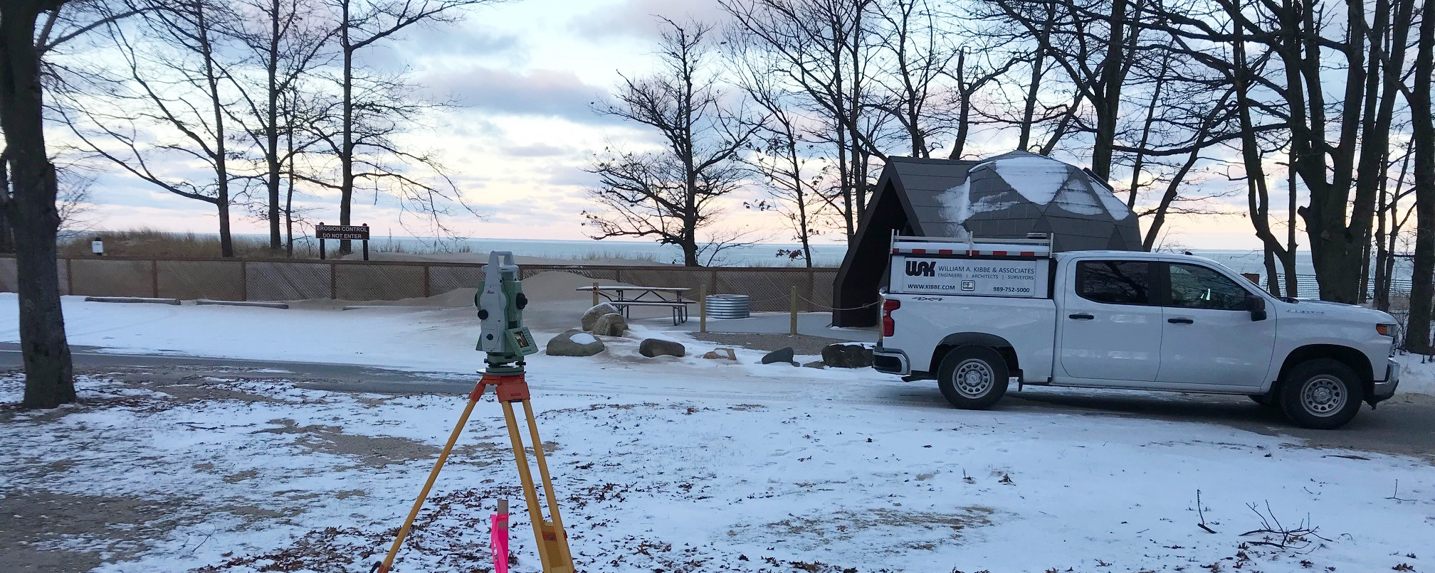
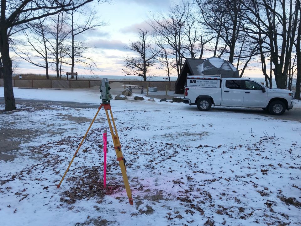
Surveys are done to determine the boundary of a person’s property. Precise measurements are taken with specialty surveying equipment such as GPS devices and Robotic Total Stations to record exactly where property lines are located, as well as to identify ground configuration, drainage, and optimal land use. Some historical information may be available from local government officials and this can be helpful to show past records regarding the property. New data is collected on the property using equipment and then the surveyor is able to compile the collected information to create new land survey maps and records.
For residential use, someone may need a land survey if they are selling or purchasing a parcel of land, to satisfy mortgage requirements, or to settle a dispute between neighbors regarding property lines.

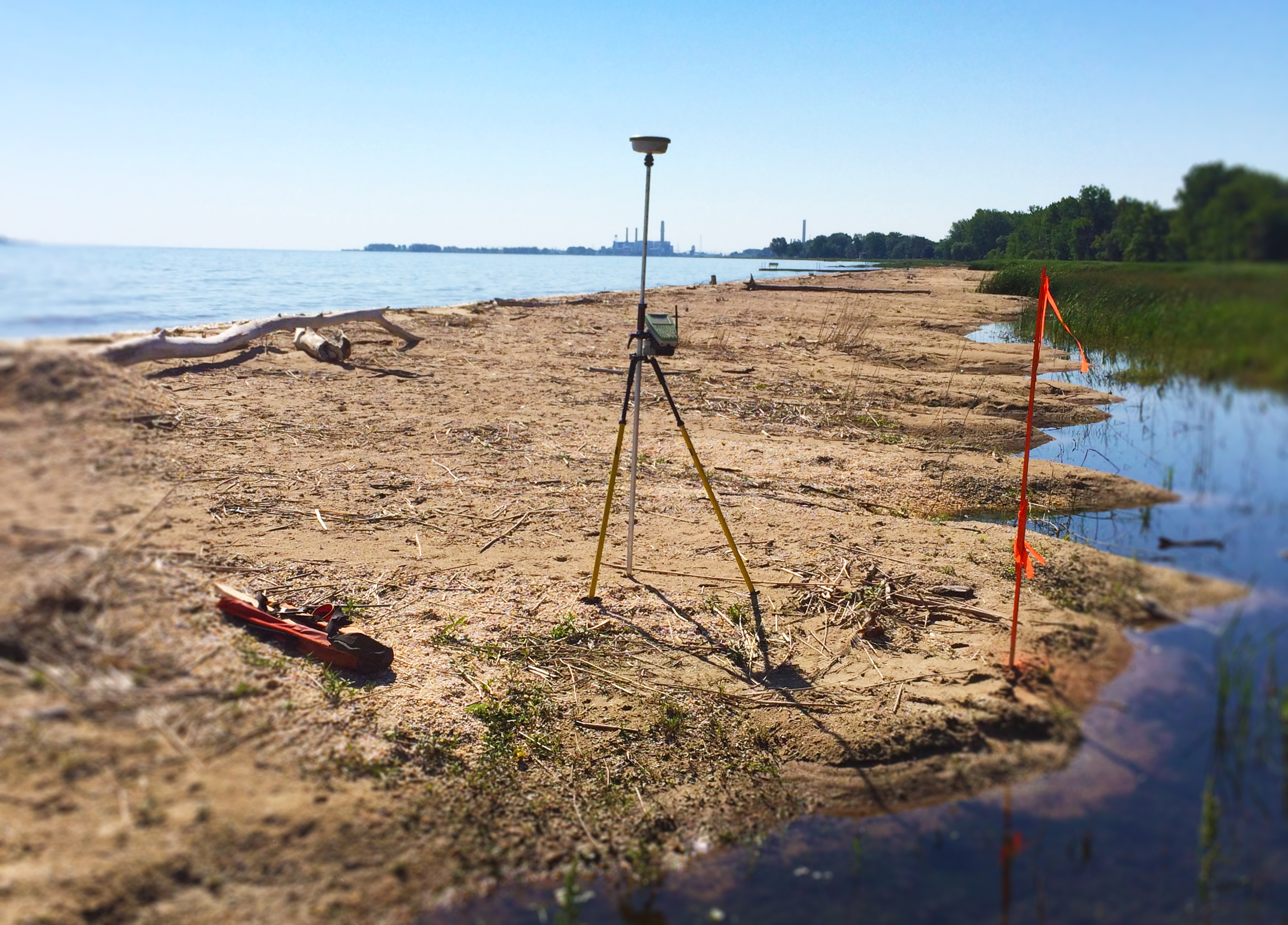
Survey equipment was used to locate the river’s edge in order to calculate acreage
For commercial or industrial use, surveying is an essential part of the project development and is often one of the first steps in working on a new project. Before planning to build on a piece of land, it’s important to first discover the precise makeup of the land in order to know what we are building upon, and other environmental factors that may impact where or how the structure should be positioned.
Whether your needs are modest or vast, William A. Kibbe & Associates can provide customized services to fit your specifications executed by a licensed professional surveyor while adhering to the guidelines and requirements set forth by the Michigan Society of Professional Surveyors.
